Leh – Ladakh Diaries – Jammu to Sonamarg (370 KM)
Previous day of our sojourn went as per plan and very effortlessly we covered the distance till Jammu (Click here for details). We signed off for the day into our hotel rooms with a target to leave at around 6 a.m. in the morning. The first encounter with Himalayas by road was about to begin and we were very excited. We had set Sonamarg as our destination for the day. Sonamarg would serve as a gateway for our onward journey towards Leh on NH-1D (Srinagar – Leh Highway) and we would be able to start early in the morning thereby avoiding an additional drive of 80 KM from Srinagar to Sonamarg. The next level of driving starts from there only that would cover high passes and tough terrains. Even though the target was set but we had to achieve the same under uncertain driving conditions of the hills & valleys. Personally, during childhood I had covered this route via road but had not imagined in my wildest of dreams that one day I will self drive on this route. The route set for next day’s journey was:
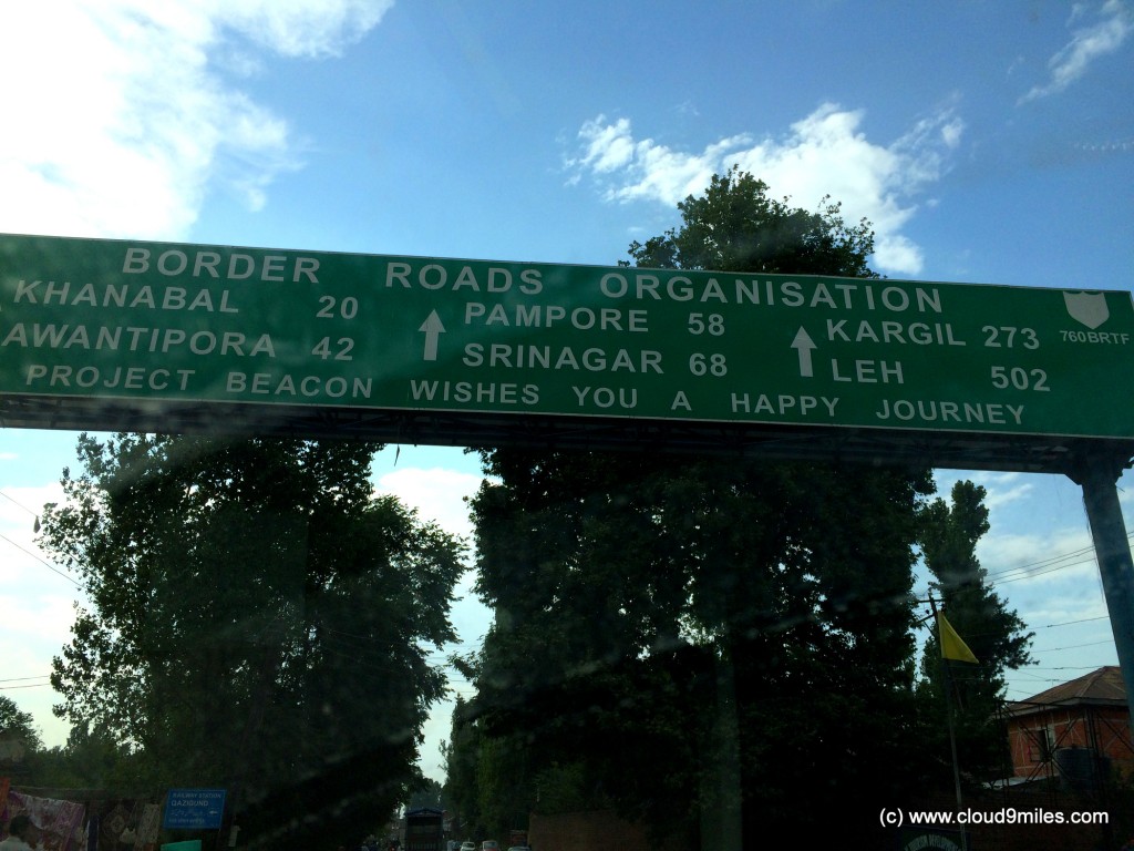
Jammu – Udhampur – Patnitop – Ramban – Banihal – Qazigund – Anantnag – Awantipura – Srinagar – Sonamarg
The Expedition
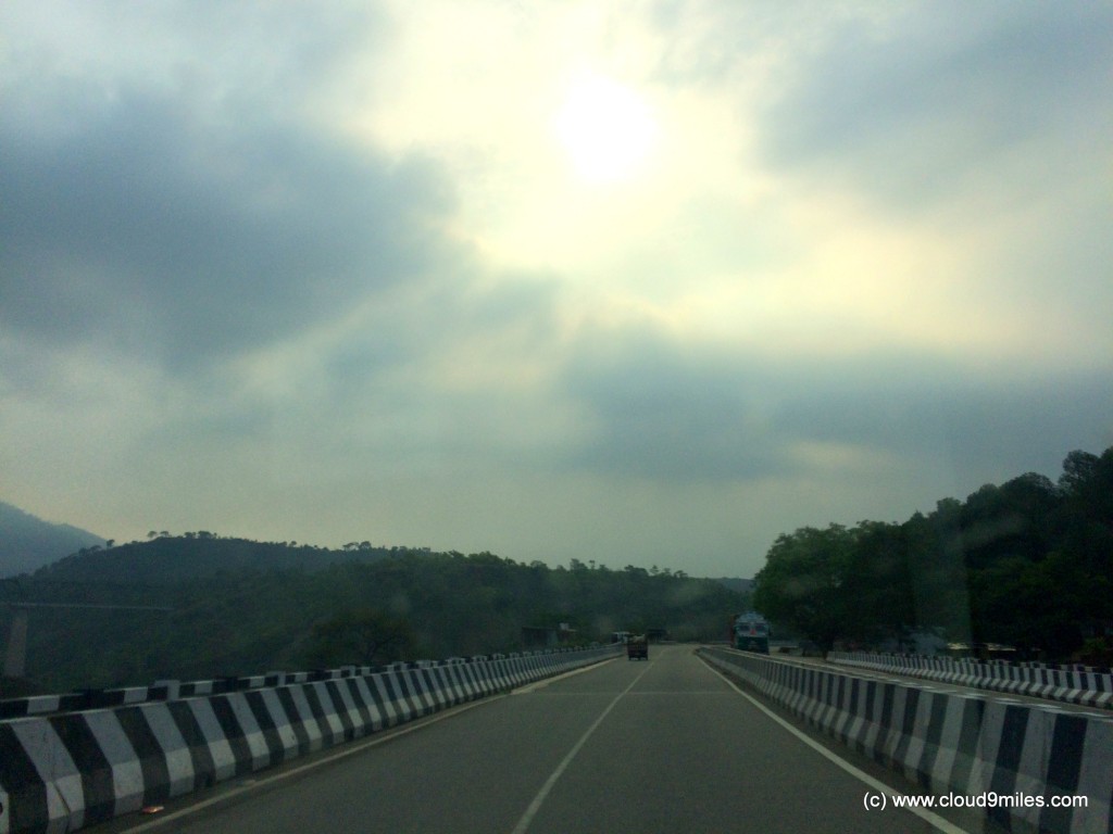
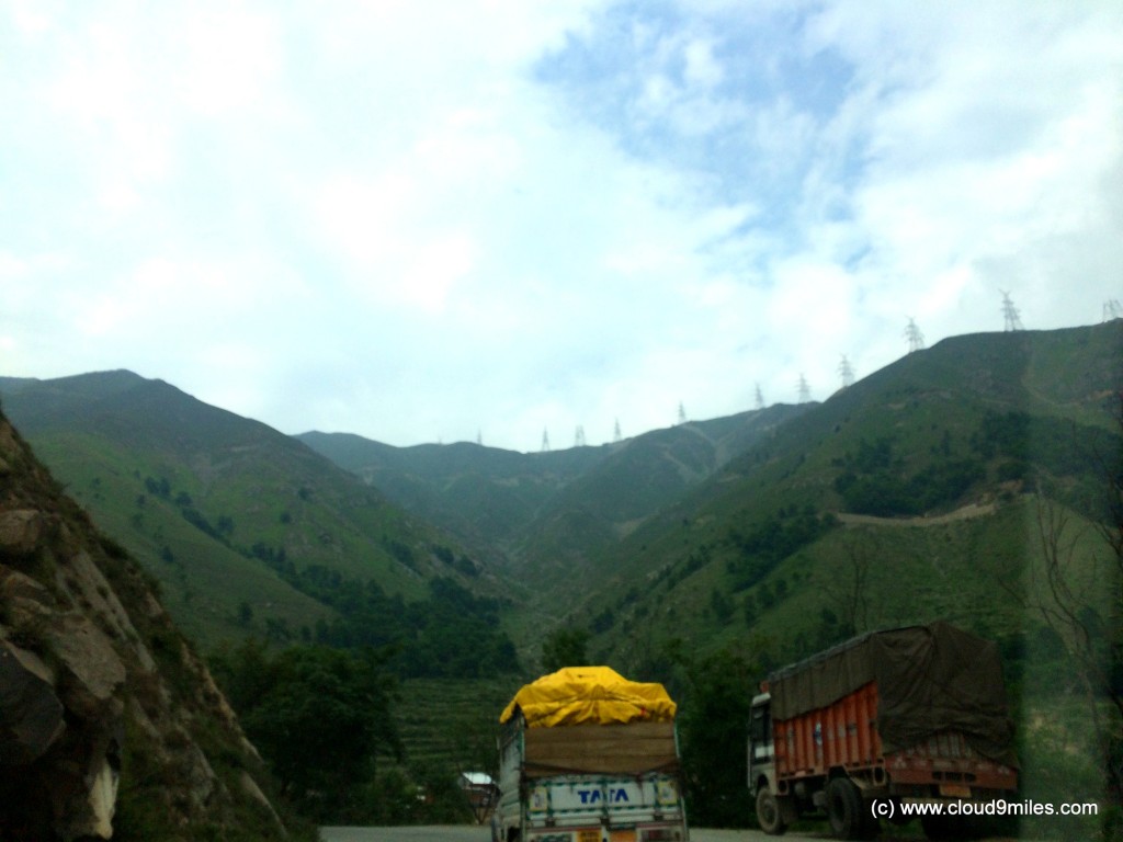
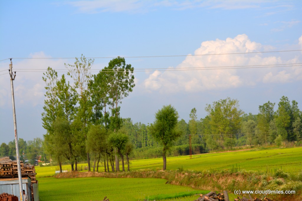
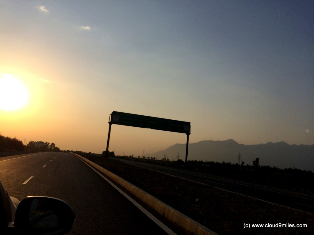
Next day morning heavy rains greeted us and we became little concerned as this might cause a delay in our travel. The hotel manager informed us that it’s raining only in Jammu and we will not get rains while travelling. We left around 7:30 a.m. from Jammu a delay of 1.5 hours from our schedule time. Fuel tank of every vehicle was filled before the start of our journey. Without any hassle we crossed the city and started cruising towards valley. The trip meter at starting point was 2065 KM. After covering 51 KMs we crossed Udhampur @ 8:25 a.m. By then rains had disappeared and we could see clear weather conditions perfect for driving. The road condition till Udhampur was amazingly good with a two lane highway but it was there in the back of our mind that this will end soon and real test will start. Soon, the two lane highway merged into one lane highway and ascent towards the hilly terrain started. We took a break for breakfast and enjoyed the freshly cooked Indian Stuffed Bread (Parathas) at a road side dhaba (restaurant) on the hills.
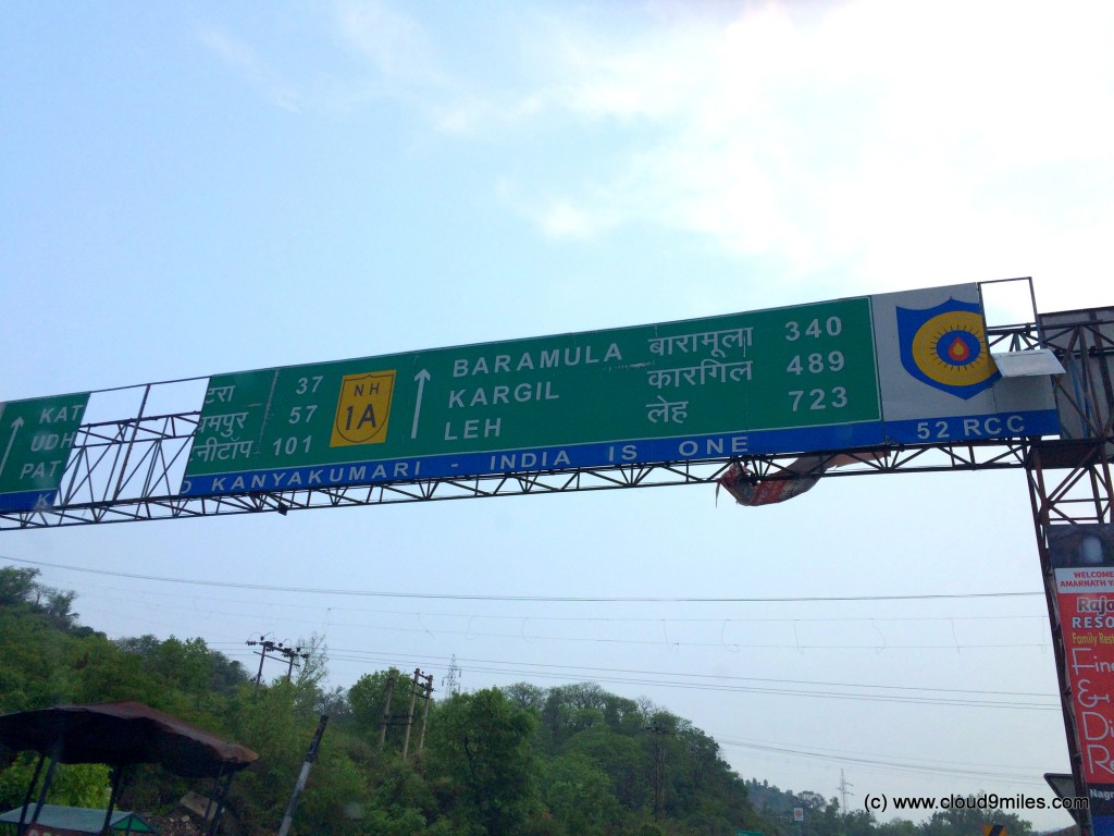
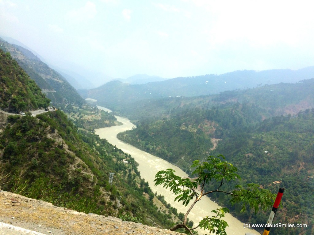
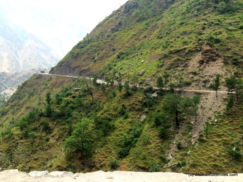
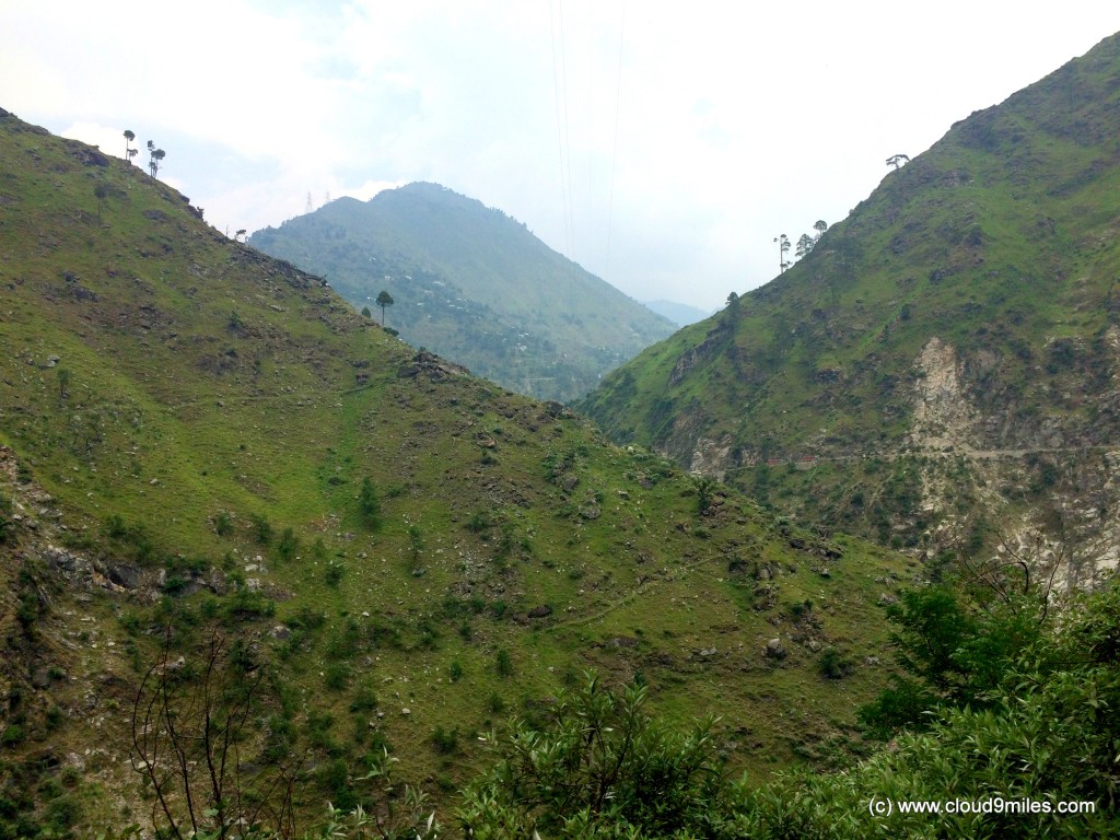
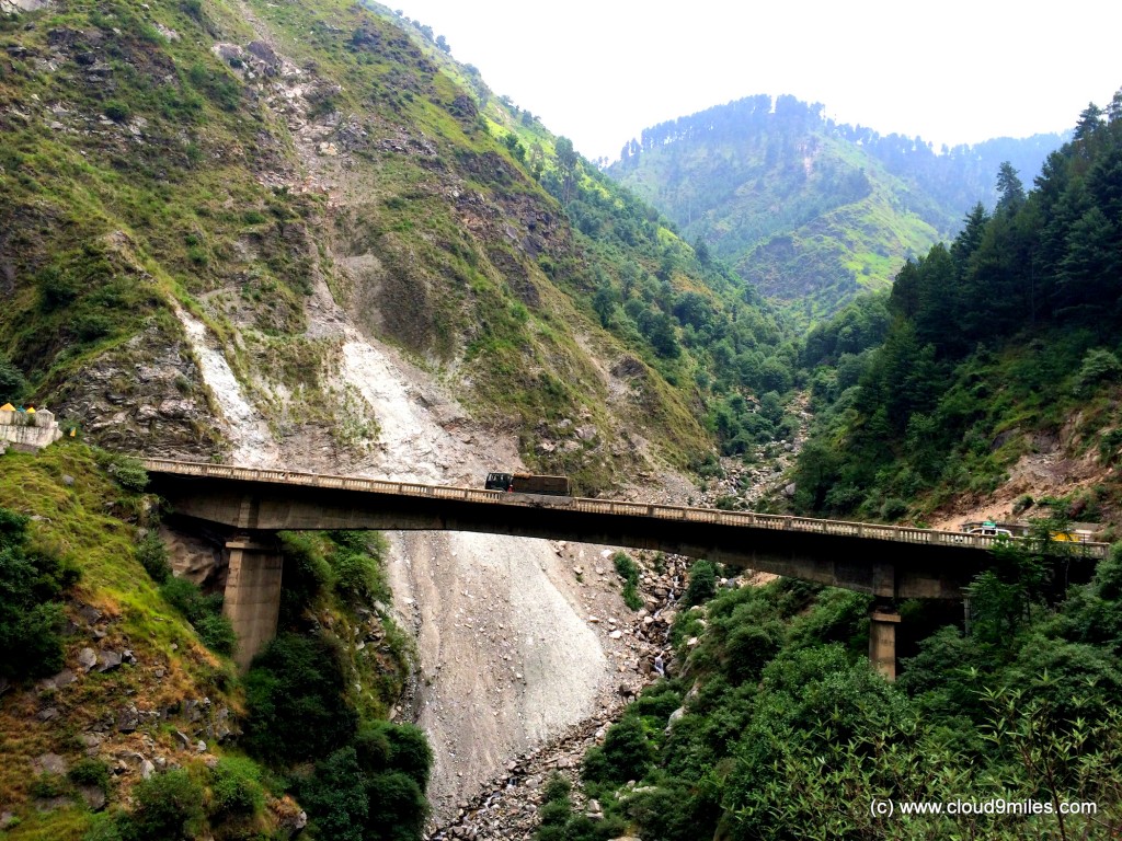
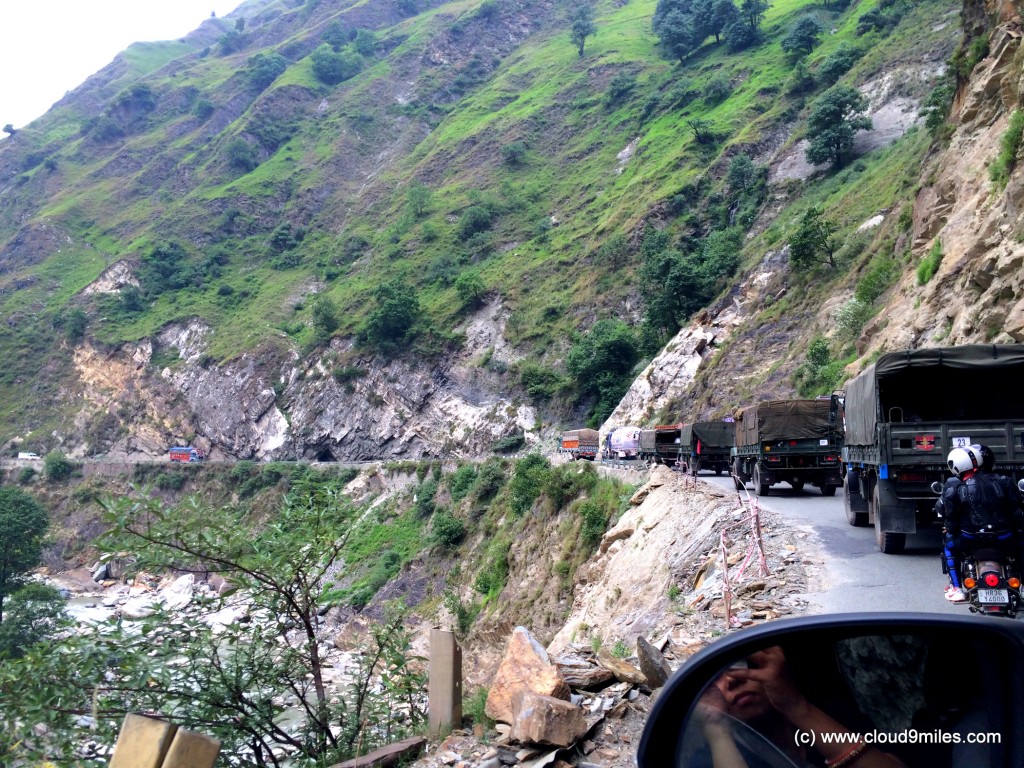
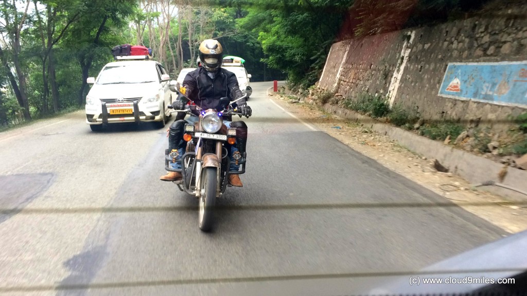
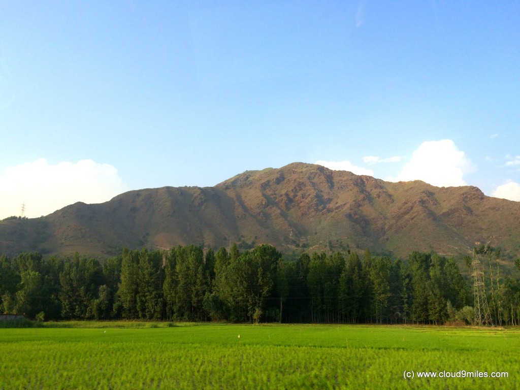
After a break of an hour we straight away hit the highway and started onward journey. We were all settled and ready to encounter the uphill climb, winding roads, twist & turns, traffic, and overtaking heavy vehicles. Even though we were running behind schedule, we were driving comfortably with caution. We crossed Patnitop (altitude 2024 mtr) @ 11:00 a.m. thereby covering a distance of 105 KMs. We continued our onward journey thereby enjoying each and every moment with all around scenic view. We crossed Ramban (alt 1156 mtr) @ 12:45 p.m. thereby covering 146 KMs and a descent from Patnitop. Our bikers and fellow car members were also moving ahead together. We continued on NH-44 negotiating the challenges thrown by hilly terrain and reached Banihal (alt 1666 mtr) @ 2:40 p.m. thereby covering a distance of 182 KMs. We took a lunch break of an hour at Banihal and ate famous Rajmah-Chawal (curry kidney beans with rice) of the region. After moving ahead from Banihal we took a small halt at a fresh water source (locally known as chashma) and believe us it was as pure as it can be. We were totally refreshed after having this natural water and moved ahead towards our target. We reached Jawahar Tunnel (alt 2194 mtr) @ 4:00 p.m. thereby covering 202 KMs. There are two tunnels one each for traffic on both directions and serves as a connecting link between Banihal and Qazigund or we can say with the valley. The tunnel that we crossed while approaching Kashmir was approximately 2.5 Kms long.
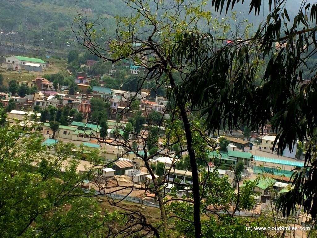
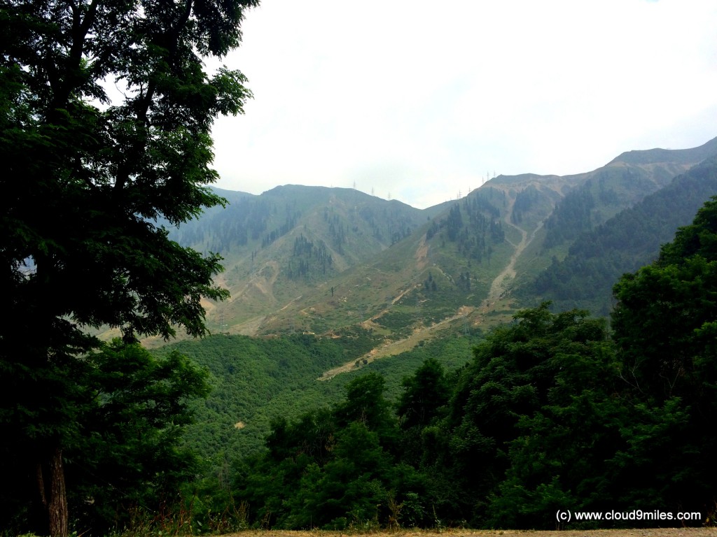
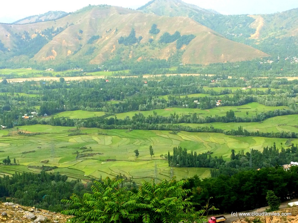
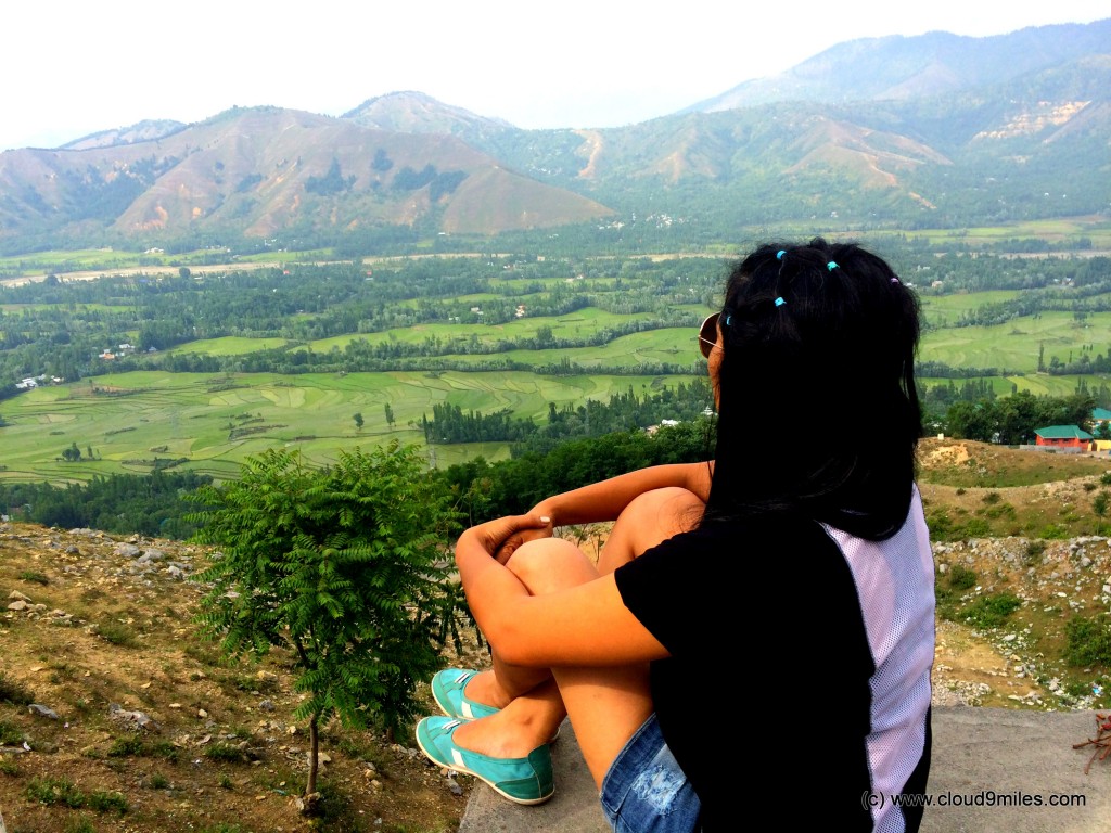
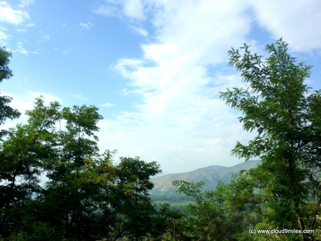
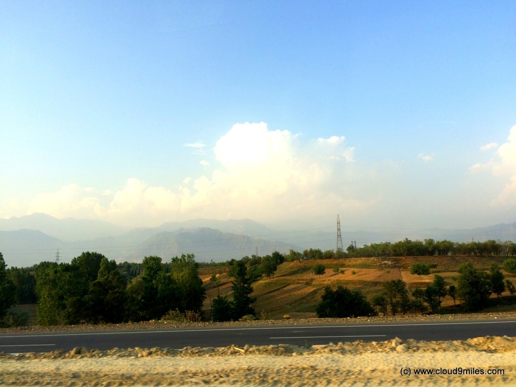
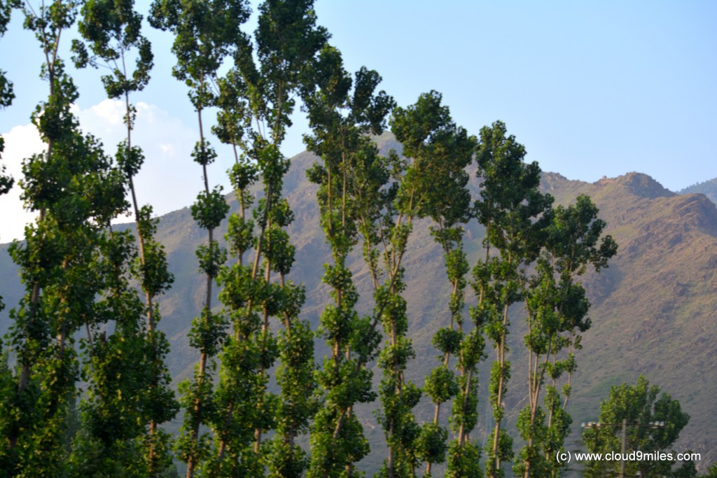
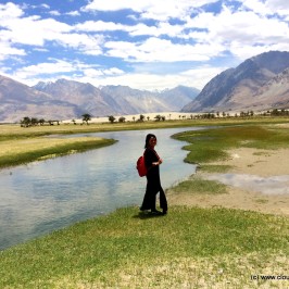
After crossing Jawahar Tunnel, came the moment that we were waiting for, the first encounter with Kashmir. The topography changed completely after crossing the tunnel and we took a halt at the Titanic View Point to get ourselves imbibed with the essence of valley. At the first look itself we felt like out of this world and lost ourselves to this amazingly beautiful place. A journey of 2265 KMs from Mumbai was worth it and we felt pride for doing this.
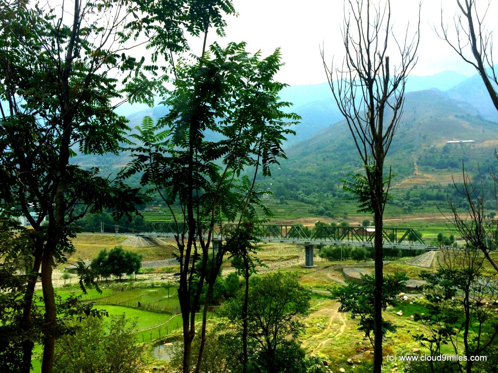
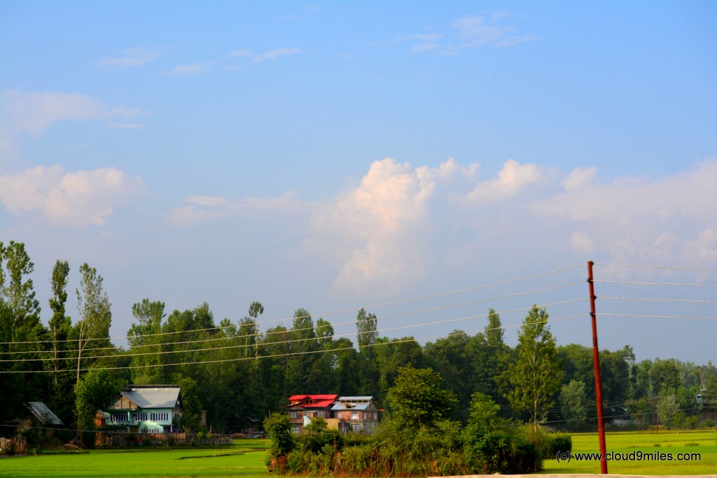
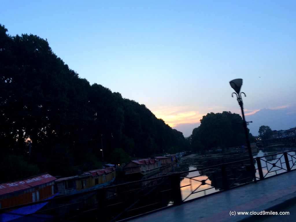
Nonetheless, we did not want to get carried away with this as we had a long journey pending for us with a target to achieve. After absorbing the beauty we moved ahead to achieve our target set for the day. At 5:00 p.m. we reached Qazigund and we had covered 220 Kms from Jammu. The drive in the valley till Srinagar felt like our regular drive through the cities in plains with traffic jams. It took 2 hours 15 minute to cover the distance of 63 KMs from Qazigund to Srinagar thereby crossing Anantnag & Awantipura on the way. To add to the cause, highway was under construction and getting converted into a four lane highway throughout the stretch. Crossing Srinagar city was also a big hindrance and it took almost 45 minutes to cross the city for our onward journey towards Sonamarg via NH-1D (Srinagar – Leh highway). One interesting point to note is that the sun sets late in the valley and it remains bright till 8:00 p.m. as well.
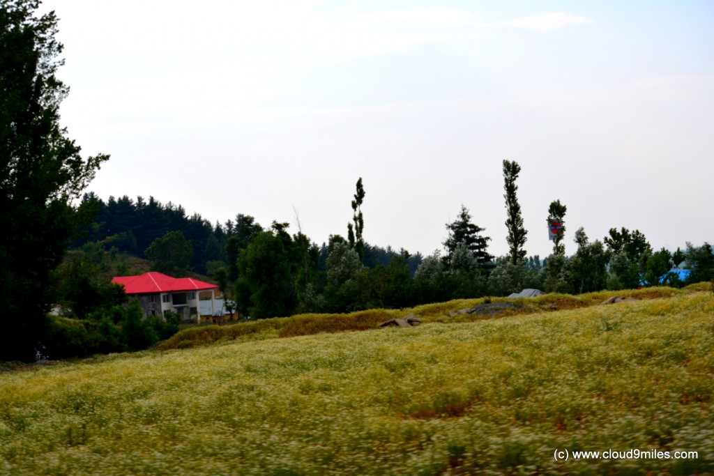
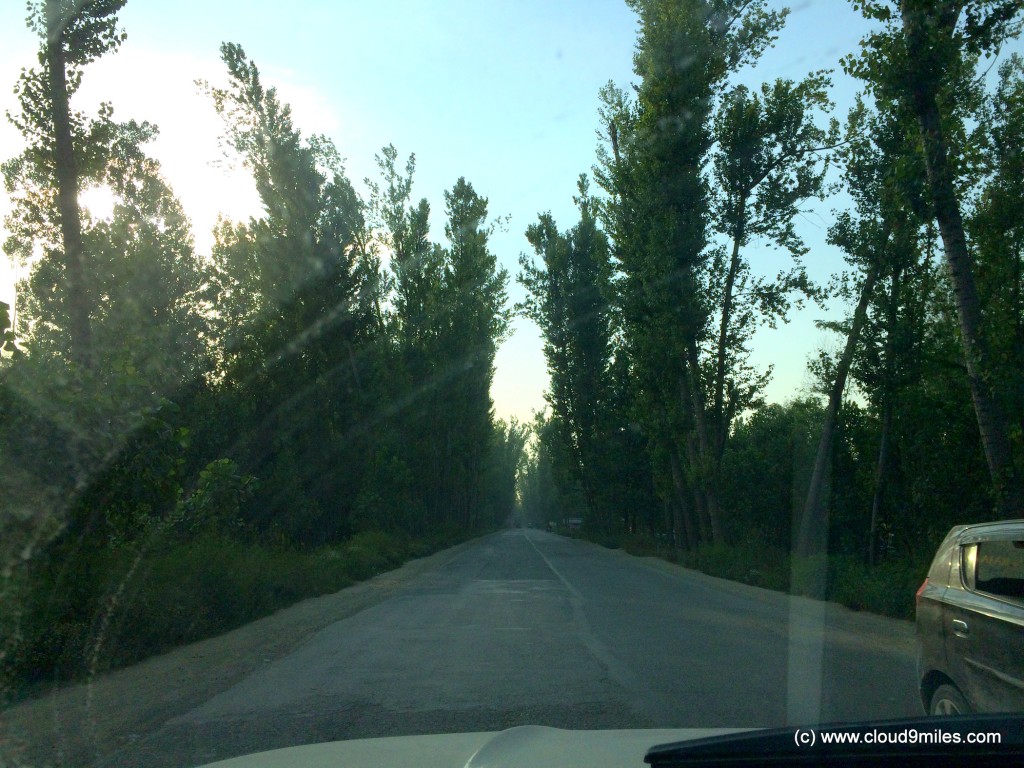

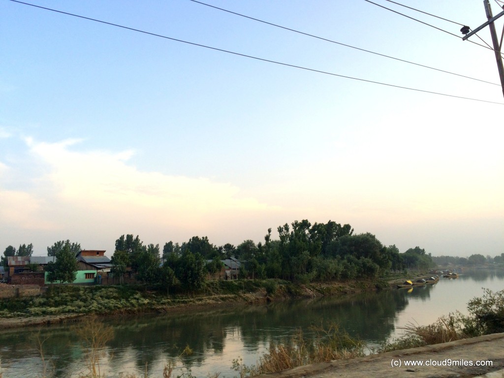
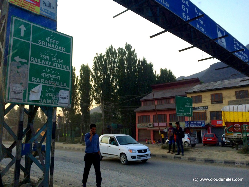
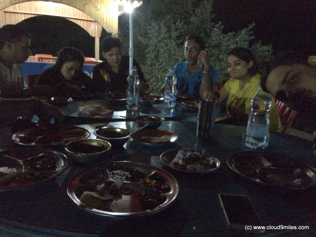
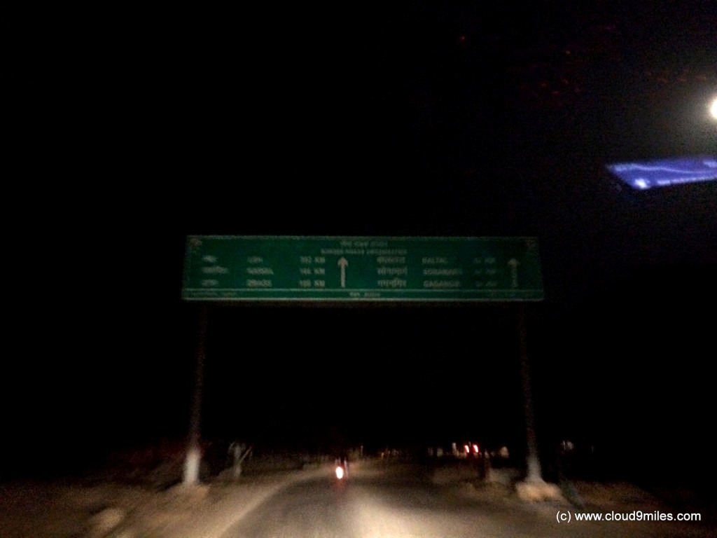
While driving through Srinagar we were approached by local people twice i.e. once by bike and next by car. They look at the number plate of the car and start chasing to compel tourist to stay in their hotels after giving misleading information. We were told that movement between Srinagar to Sonamarg is not allowed after dusk and we will not get any accommodation in between as well. We took a halt after crossing Srinagar @ 8:00 p.m. thereby covering a distance of 290 KMs on a fuel station to gather some information but in vain. Again we received inconsistent and varied information. Finally, I took the guidance from my friend who regularly does biking trip to Leh and we moved ahead towards our target. In the meantime we lost 45 minutes of crucial time. Based on the information received we started looking for a restaurant for dinner as we were advised to have dinner as it will get very difficult in late evening to find food. This information was true and it did take some time to find a restaurant. Finally, we found a restaurant and had our dinner around 10:00 p.m. under the sky besides Nallah Sindh. The best part of the dinner was natural environment. In the meanwhile, we also booked accommodation in International Youth Hostel (constructed by J&K Govt) as advised by my friend. The drive through Srinagar to Sonamarg was along with Nallah Sindh a largest tributary of river Jhelum which we covered in the night. We reached Sonamarg (alt 2800 mtr) @ 11:30 p.m. thereby covering a distance of 370 KMs during the day and checked into hostel.
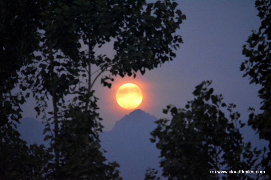
We were lucky to view and capture full moon on 20th June 2016. On one side, Sun was still visible, ready to set down and on the other side this incredible moon was rising from the Himalayas. We felt like awe, what were we witnessing? Was it really moon or reflection of sun? Later on we found that on 20th June 2016, this rare natural phenomena which occurs almost after a gap of 70 years has taken place. This full moon rise happened on a summer solstice and was a lifetime event as it will not happen again before 2094. The summer solstice was the longest day of the year with over 15 hours of daylight. We were so grateful to witness this event at the right place.
On day 2 we travelled 370 KMs with a running time of 11 hours thereby clocking an average speed of 34 Km/hr. Overall, the drive was comfortable with quite a few twists and turns with changing topography. We drove through hilly terrains with curvy roads, blind turns, uphill climb and sudden onward traffic. The drive also required overtaking skills on such roads and patience on account of large vehicles, big traffic jams, construction/repairs, stalled vehicles, convoys, etc. We accomplished our target set for the day and were also happy with the hostel. Also, satisfying was the fact that the location of hostel will give an added advantage to us on our onward journey. The highway gets opened for vehicular movement in the morning and this hostel is situated exactly after the check point, which would mean that we have already crossed the check point for marching ahead. Before crossing the check point towards the hostel in the night we had to compulsorily submit our original driving licence or vehicle registration certificate with the official to collect it back in the morning before proceeding with our journey. On one side, we were relaxed by the fact that as per our schedule we had 2 days to cover the distance till Leh and on the other side very excited to cover the stretch specially Zoji La Pass.
Related Posts:
One Response
Bharat Taxi
Wonderful post. This blog has an amazing information about the destination places beautiful visiting spots and captures very impressive photos. We are offering taxi service in India on affordable rates as Bharat Taxi.